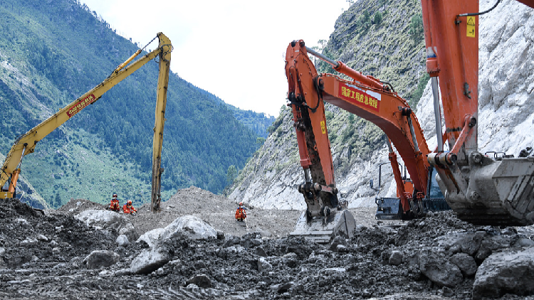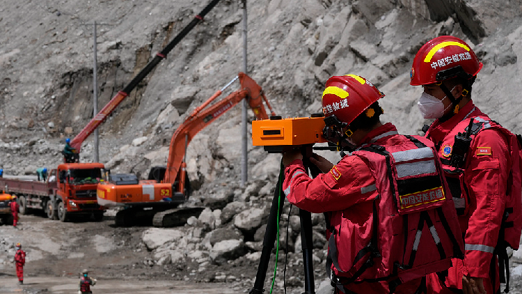
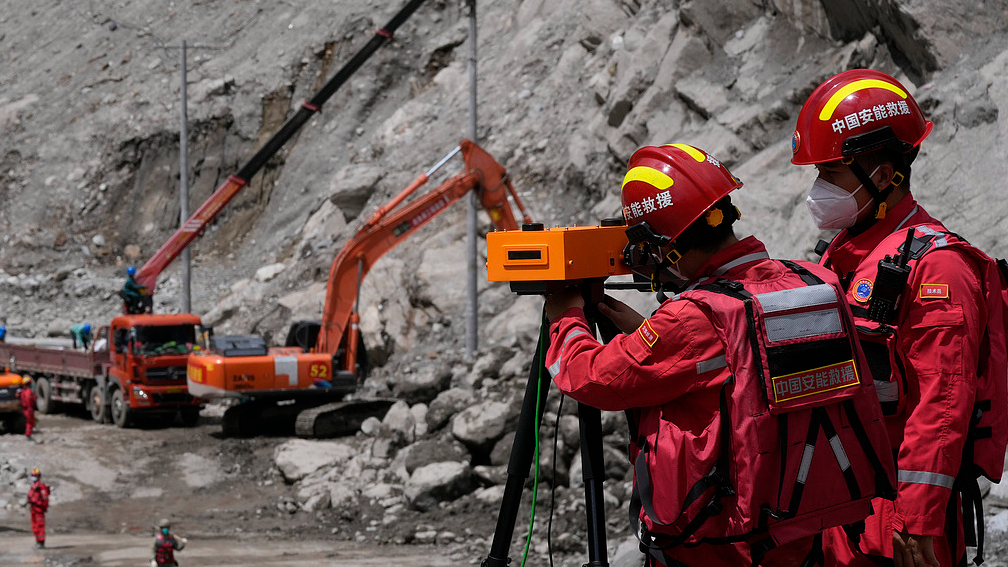
China has deployed ground radar, drones and specialists to build an integrated early-warning system in Gyirong County, southwest China’s Xizang Autonomous Region, keeping rescuers safe after last week’s mudslide disaster.
Thirty-nine personnel from three national emergency rescue teams – split into two groups – moved into the disaster zone on Friday, setting up monitoring points and aerial surveying systems to track secondary disaster risks in real time.
One group installed a portable slope radar and conducted drone surveys to track slope changes around the port area.
The other group focused on the upstream barrier lake, adding a new monitoring site in a high-risk geological area northeast of the Jilong No. 2 open-cut tunnel. They are also continuing to monitor the lake’s dam, the landslide body on the southern bank, the hillside at a bend in the downstream channel, and slope No. 2 at the barrier lake in Guoba Village.
The team also completed high-precision aerial topographic surveying of the newly identified high-risk area.
So far, the teams have logged 192 hours of monitoring, collected 3,520 sets of data, and carried out 150 drone missions.